"Easy, Accurate, Versatile"
3D Mapping, Surveying & GIS Solutions.
PHI SCAN
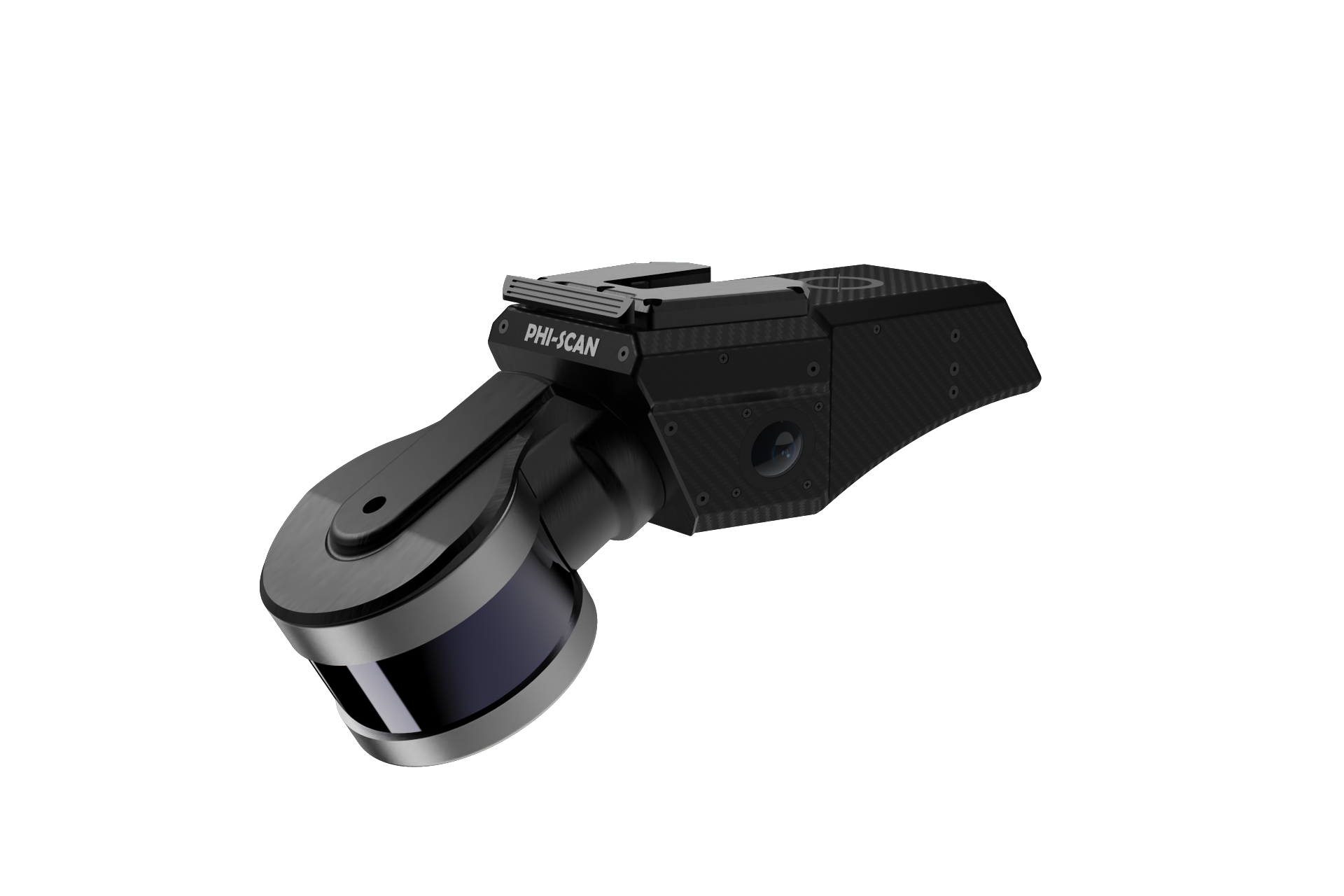
FEATURES
FEATURES
INDUSTRIES
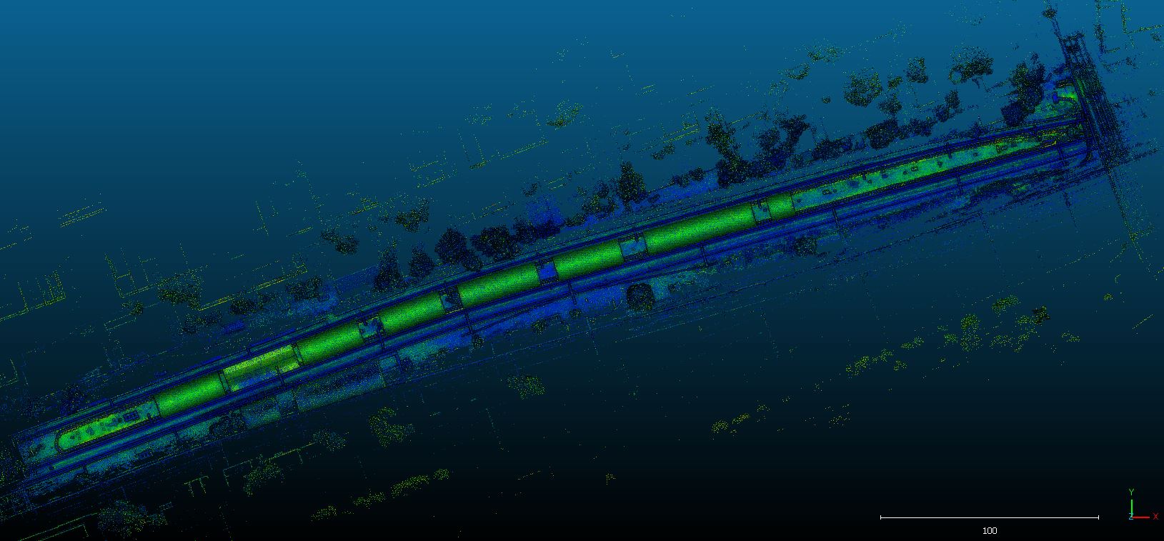
“Engineer safer roads and railways using measurable, auditable 3D data.”
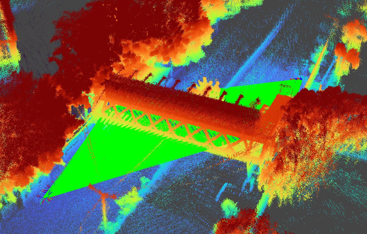
“Build smarter with survey-grade LiDAR.”
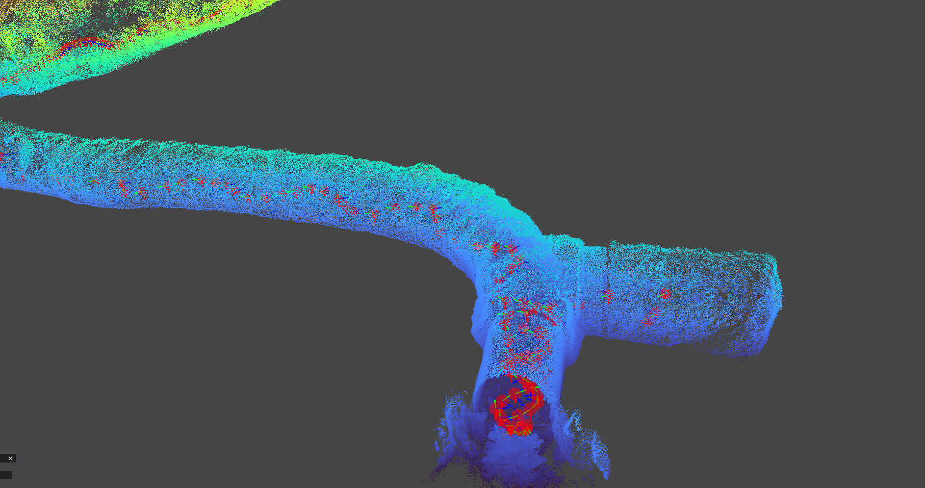
“Reliable 3D mapping for safer tunnels and mines.”
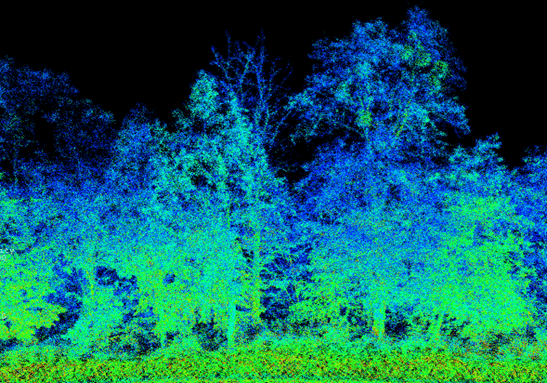
"Data-driven forestry for sustainable management and research."
CHOOSE YOUR SYSTEM
REACH OUT